Fainters and Niggerheads
Contents
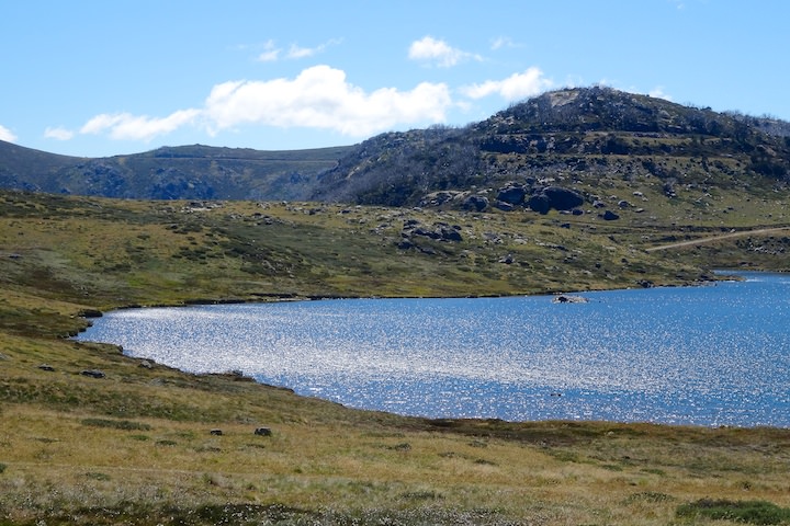
Salt Camp Creek
During our last camping trip at Mt Bogong we talked about the Fainters and ended up deciding to head there next. It had been a long time since I’d been there, and LS hadn’t visited them at all.
We set off from Melbourne earlier than last time, but the longer drive to Pretty Valley Pondage (past Falls Creek), combined with getting tangled up in some early peak hour traffic meant we didn’t start walking until 13:15.
The weather picked up from where it left off last time — it was a cold, windy, and cloudy afternoon when we started. Getting out of the warmth of the car wasn’t easy. It felt bleak and lonely: our car was the only one there. At least Pretty Valley lived up to its name.
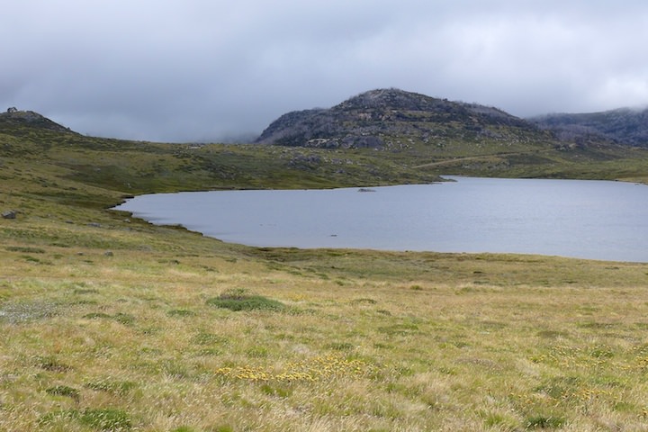
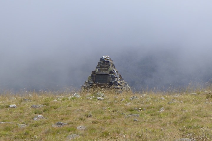
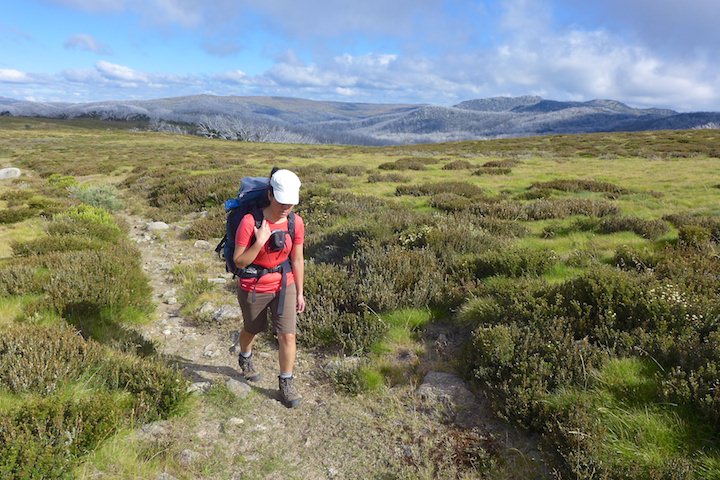
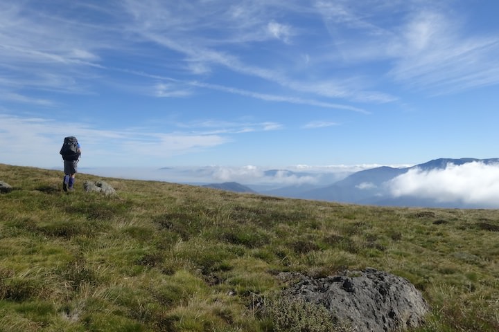
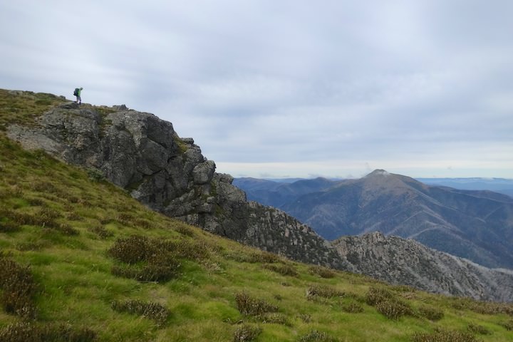
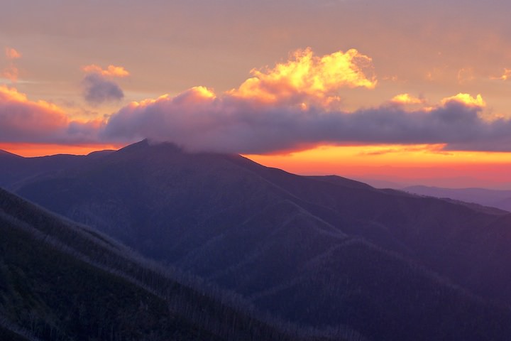
We crossed the causeway and set off up the hill. It’s about 2·5 km of constant climbing before reaching the top of the ridge and the memorial. It was a bit of a grind, but the cold weather kept us cool, and the views, although partly obscured by low cloud, were nice.

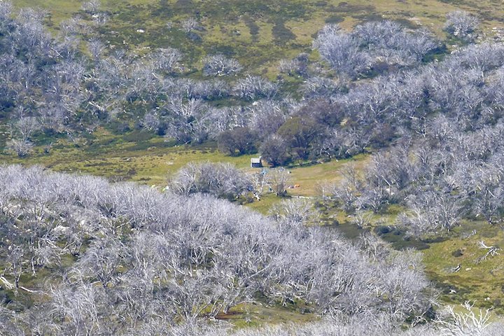
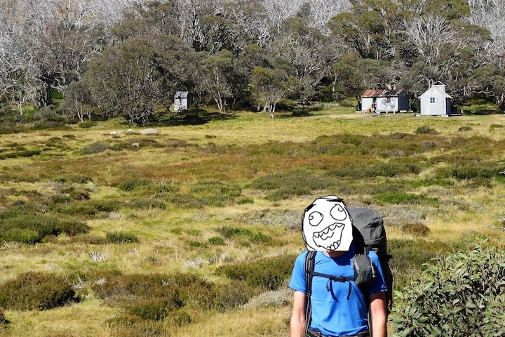
From there we had an easy downhill section to Tawonga Huts. The huts aren’t too flash and many are quite run down, though I’m sure they would be a welcome sight in bad weather. We saw two people there (the first other walkers we had come across) who were apparently heading the other way.

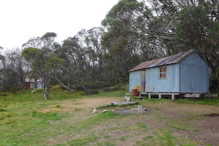
I hadn’t made any definite plans of where to camp, and we briefly considered stopping at the huts. But there was still plenty of daylight left, and I preferred to be closer to Mt Fainter and away from such a people-magnet of a place.
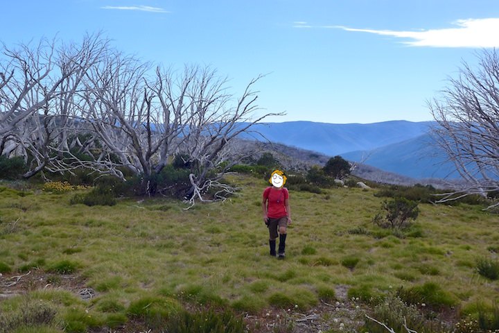
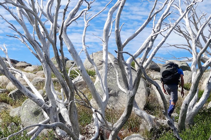
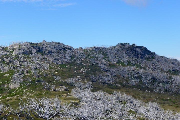
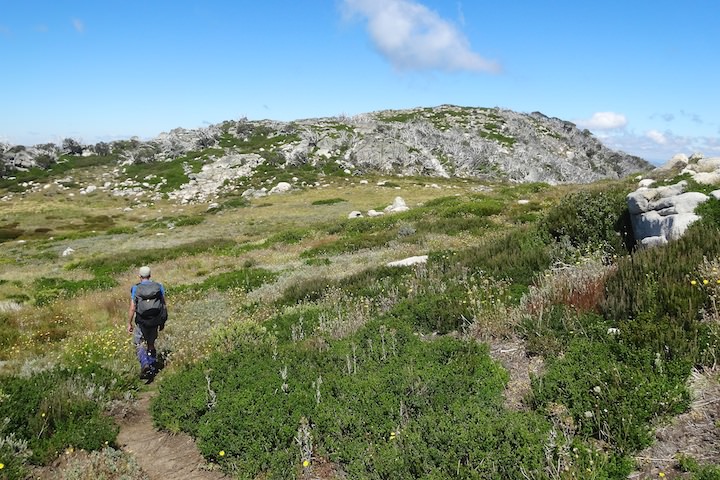
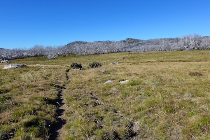
The track on from here is still marked as the Fainter Fire Trail on the map, but there’s no way any four-wheeled vehicle could pass these days. It was actually quite pleasant walking on the well-graded track, and there were plenty of nice views.

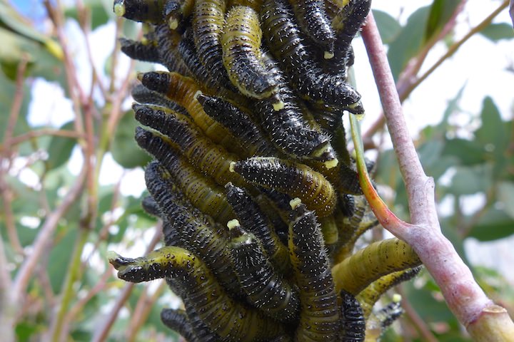
Some of the eucalypts lining the track were covered — and I do mean covered — with caterpillars.
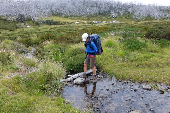
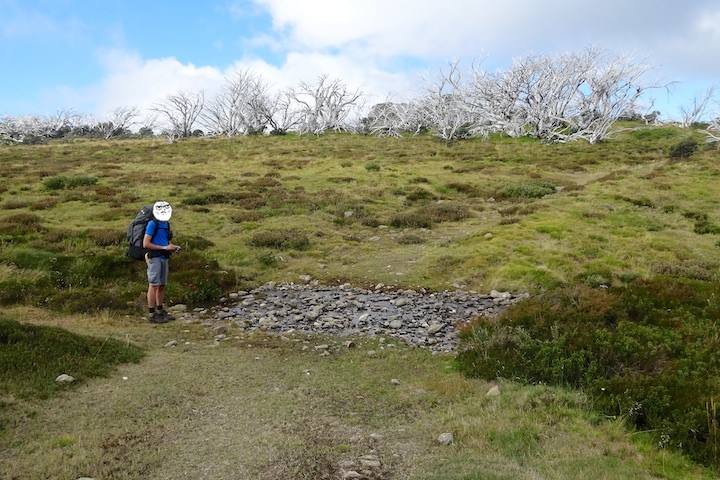
The track crossed plenty of streams too, which was encouraging. Before the walk I wasn’t sure if it would be difficult finding water, but clearly it wasn’t going to be a problem.
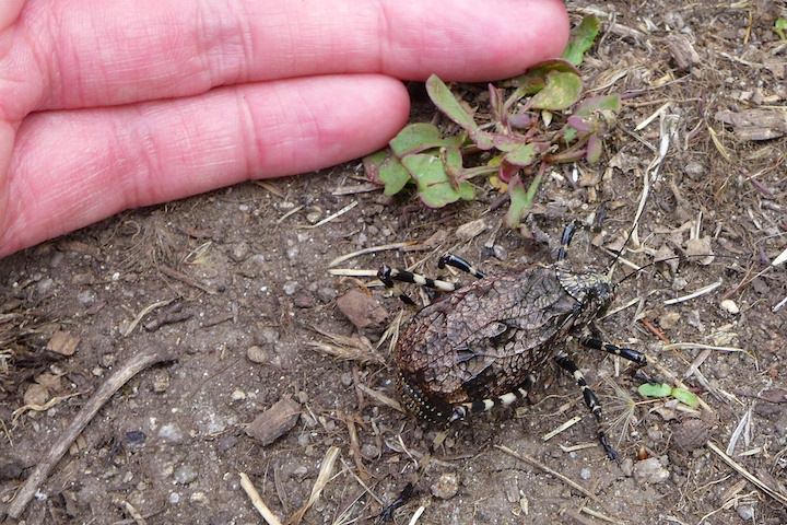
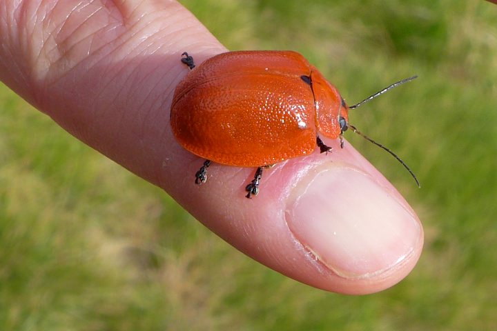
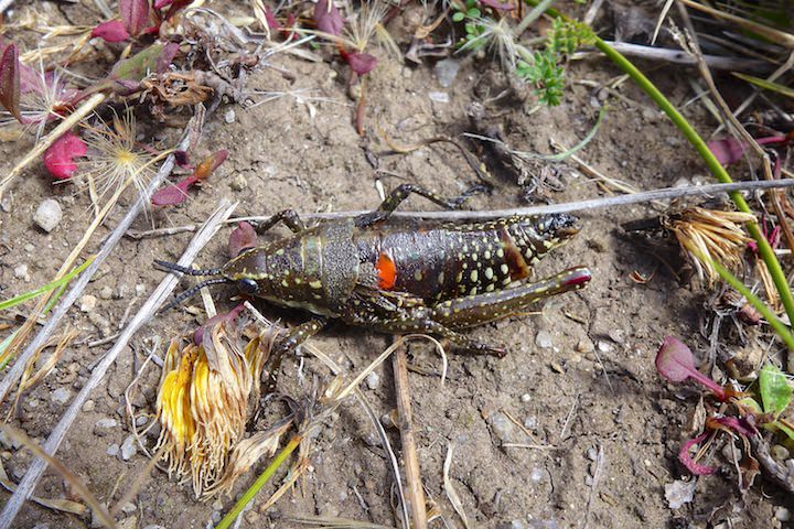
While walking along this track we first came across an insect that I haven’t seen before. At first sight they look like a walking peanut with very long legs. But when disturbed (a light tap will do the job) they have a curious response: they pull back their vestigial wings to reveal a beautifully coloured and patterned abdomen. They taste unpleasant to predators, apparently, and this is their way of warning them off. These insects were not uncommon, and we found them most days. After we returned home I did some research and found they are mountain katydids (Acripeza reticulata), and they’re actually a type of grasshopper.


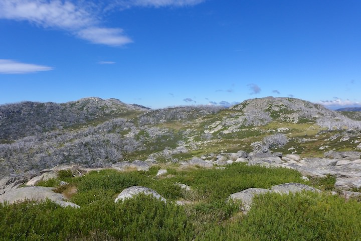
Continuing on we reached Little Plain, and it’s a lovely place. Plenty of open space, some trees for shelter, and a small creek.

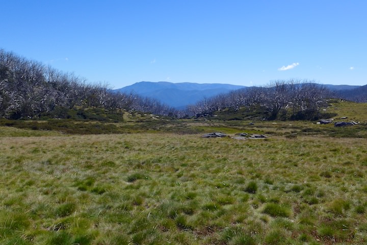
There’s not much in the way of views, however. We were close to Salt Camp Creek, so we decided to push on. The climb out of Little Plain opens up some good views to Mt Feathertop to the west, and the Niggerheads behind to the south.
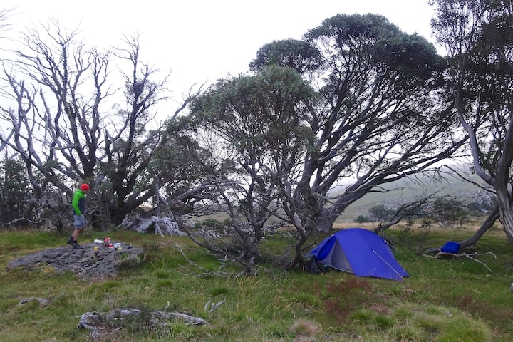
We made the right choice continuing, as the area around Salt Camp Creek was very nice: plenty of options for campsites, excellent views, a good stream, and very good mobile phone reception.
I went hunting for a campsite amongst some snow gums on a hill where the path went looping off to the side. I wandered around crashing through the trees until I found a good spot. After we’d put up the tent I noticed the path just a few paces further on… I’d wandered so far through the trees that I’d cut right across the path’s loop.
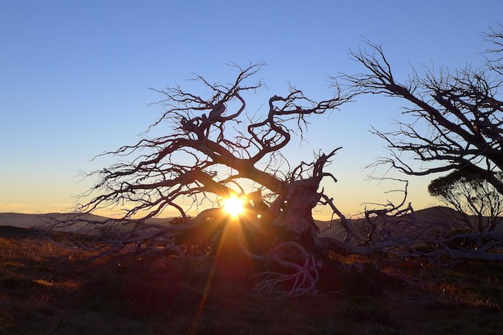
There was a large rock conveniently near our tent which we used as a table when making our dinner. As we were finishing up just before sunset the fog rolled in. I crossed my fingers and hoped we wouldn’t suffer the same foggy problems as we did on our Mt Bogong walk.
High Plains Drifting
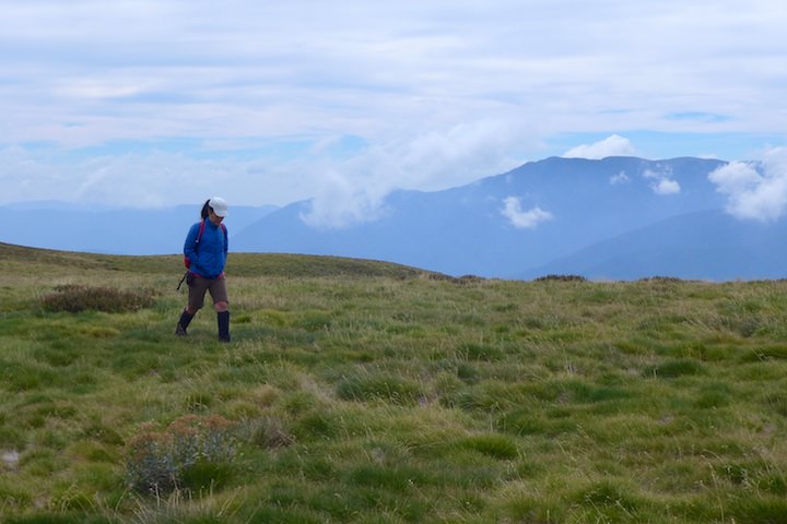
The morning brought good news in the form of a perfect blue sky (though some high cloud built up later). We decided to spend the day exploring the Fainters, which meant there was no rush since we were already so close to them.
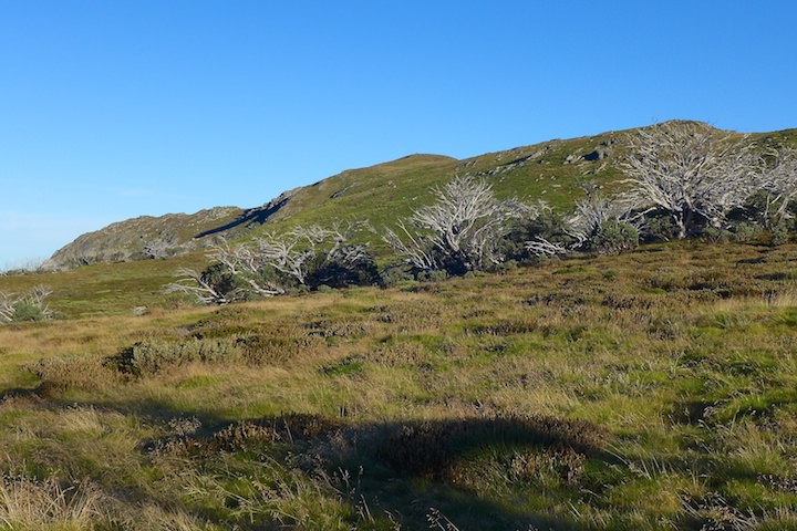
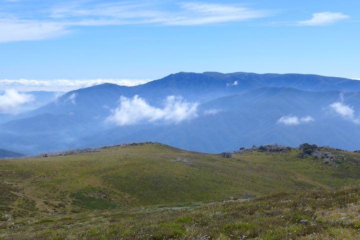
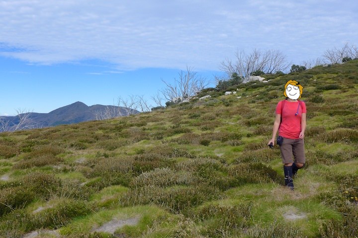
After a leisurely breakfast we set off up the track towards Mt Fainter. Behind us was the distinctive peak of Mt Feathertop.


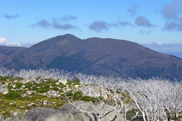
When we reached the ridge we had great views over to the Bogong massif. The heights were free of cloud, the valleys were filled with fog haze, and clouds drifted by below us.

We came across some wildlife in the form of a rather large and serious-looking spider.

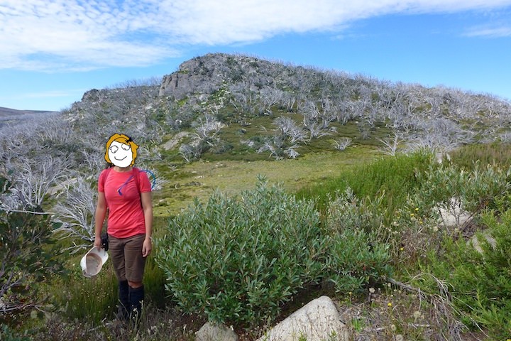
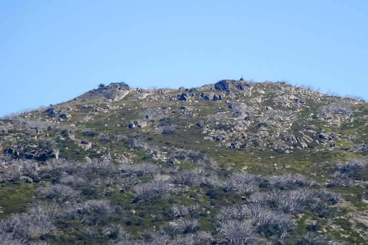
With the summit of Mt Fainter South in view we left the track and set off cross-country.
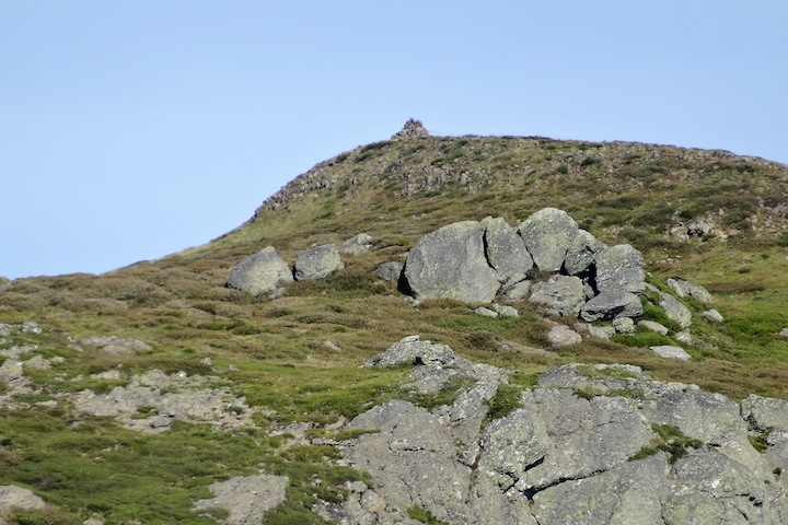
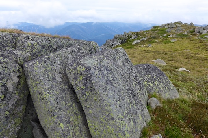
It was very nice wandering along wherever we wanted. Near the summit we came across an outcropping of small basalt columns.

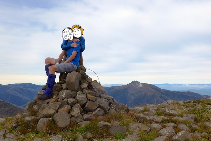
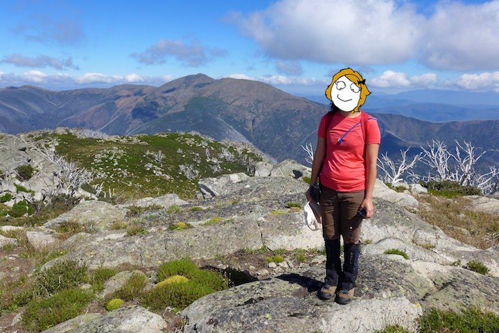
At the summit we took some selfies (naturally). The pole for the trig marker had blown away (you can see the remaining support wires in our selfie), though we did find the marker itself some way down the hillside. And the views were fantastic: Feathertop, Hotham, Bogong, and many more recognizable peaks of the high plains.
Running west off the summit of Mt Fainter South is a ridge that leads all the way down to the West Kiewa valley. I wondered what it would be like to climb — the top of the ridge near us certainly seemed steep and rocky. Stay tuned on this one…
From the summit of Mt Fainter South to the north peak was a 1·5 km stroll across pleasantly open grassland.

Interesting insects were becoming a theme for this walk, and there are still lots more to come.
We reached the summit of Mt Fainter North. The cairn was smaller than its sibling peak, though at least its pole hadn’t blown away.

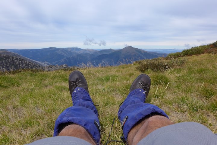
We found a spot out of the wind and ate our lunch, then had a snooze. The grass was soft, the views were great, and there was just enough sunshine to keep us warm.
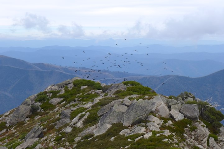
We headed back to the south peak to have a look at the western ridge, following it down for about half a kilometre. It made for a good scramble, and we had company: in front of us was a huge flock of crows (easily a couple of hundred). Every time we got close to them they’d shift to some trees further down the ridge. They were loud too — not just their cawing, but also their wings as they beat the air.

We sat on a rock while we ate a snack and were surprised to see a little brown mouse (a native, I think) pop out from underneath, before it realized we were there and disappeared again just as quickly.
We walked back over the summit and down the ridge until we met the track again. We explored eastward a bit towards Terrible Hollow, before returning to our camp for another snooze.
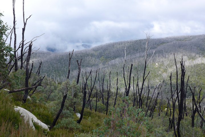
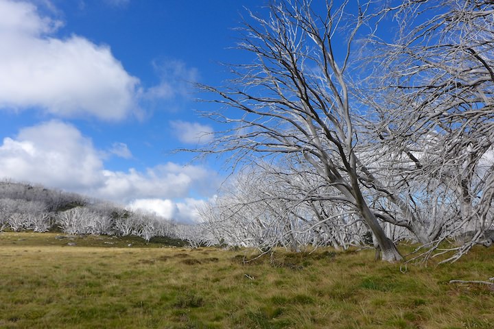
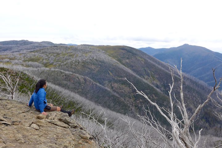
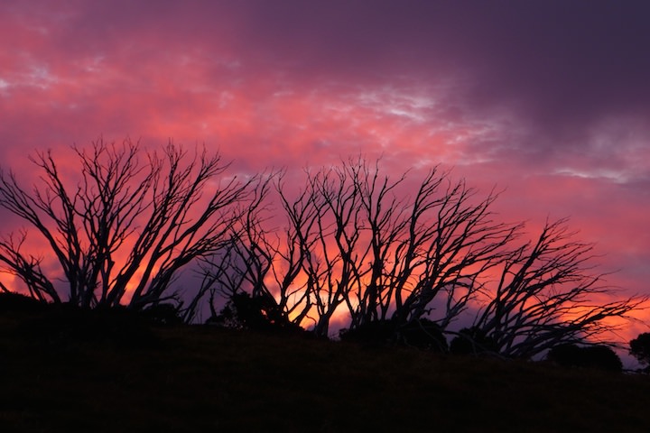
While we were snoozing we heard several “cooee’s”, though we didn’t see anyone about. Mid-afternoon we got up to explore the Salt Camp Creek valley and find a place to watch the sunset. We found a nice spot on the cliff wall to the west. Below us was an entire dead forest of snow gums killed by the bushfires a few years back.

We climbed the nearby hill as well, which I’d considered for a campsite when we arrived the day before. It was nice, though the grass was quite lumpy up there, and there were lots of ants (a common problem in the Alps). The remains of a campfire showed that someone had camped there, though.
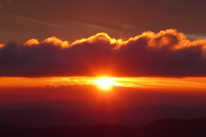
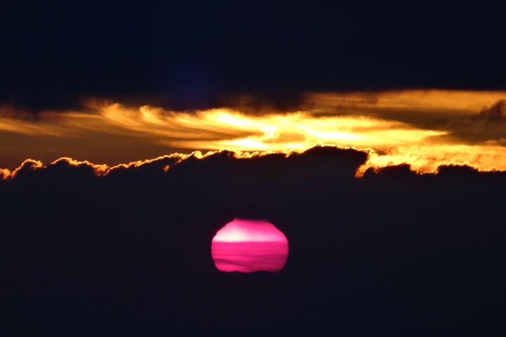
After we’d finished with our dinner we made our way over to our sunset spot. The sky was quite cloudy, but such skies can often produce good sunsets. We were fortunate enough to experience that here, and as the sun dropped it lit up the clouds with fire. The result was a very colourful sky, which continued after the sun had dropped below the horizon (and yes, the sun really did look pink).


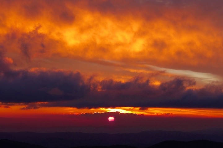

I’m glad we weren’t up on Mt Feathertop for the sunset though — a few minutes before the fun started Feathertop’s summit was engulfed in cloud and stayed that way…
High Plains Bush-Bashing
I got up early this morning to see the sunrise, but first there was the moonset over the Fainters.


The sunrise was spoiled a bit by a horizon full of ski lifts and communication towers, but it looked nice through the trees near our tent.
The blush of dawn lit up Feathertop and our destination for the day: The Niggerheads.


We set off about 9:00 back down the track to Little Plain, with great views over to Mt Feathertop and to Mt Buffalo.


Down at Little Plain we found a father and son camping, and I guess they were the source of the “cooee’s” we had heard yesterday. The map for the area shows a track from Little Plain across the Niggerhead range to its summit, but this is definitely not the case. It scarcely matters, however, as most of the route is simply strolling along through glades and meadows. It made for lovely walking.


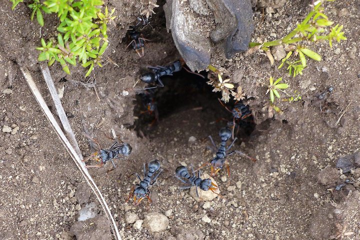
Along the way I found a bunch of ants guarding the door to their nest.
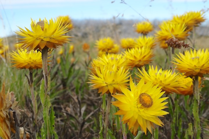
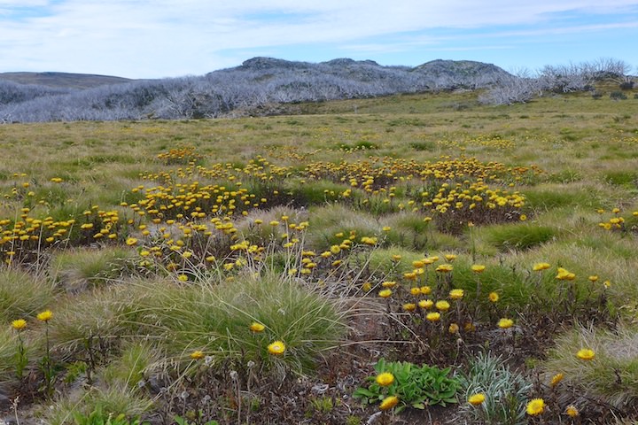
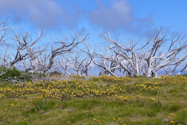
All through the grass were drifts of golden everlasting daisies.
We found our own way, taking in as many of the little summits alongs the ridge as we could. The views were great. Also up here (somewhere above the site of the Mt Fainter Goldfield) we found a tiny little creek, which was flowing despite being nearly at the top of the ridge. Camping up here would be fantastic, though I’m not sure I’d have enough faith in the creek to drag a pack up here in the hope that it was flowing.


As we progressed we reached some scrubby sections. The guide book we were using said to keep east of the summits, but looking back later I think we would have done better to stay more on top, or even to the west. It wasn’t too bad, though, as we were able to follow animal tracks for much of it (deer tracks by the look of the hoof prints we saw).

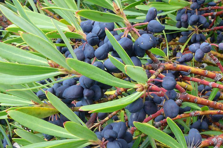
We found some beautiful berries in this section varying in colour between a dark blue-black and pink.

We broke out of the worst of the scrub and regained some views.

After one more scrubby climb we could see our destination clearly, though on our right was an intermediate peak that looked worth climbing.
Mt Feathertop filled the western horizon. The Niggerheads provide just about the best view of it you could wish for.
We naturally gravitated towards the intermediate peak we had seen. The walking seemed easier that way, and after a bit we picked up a series of cairns — the first hint of a path we’d found. This was the last peak before the actual summit, and I’m glad we climbed it as I think it had the better views.

We had Mt Feathertop on one side and the summit of Mt Niggerhead on the other.
Descending we passed a tiny creek, then we picked up a faint path for the final section.

At the summit cairn we stopped for lunch: it was 12:00, and it had taken three hours from camp. There was also a good view down to Tawonga Huts… and it was filled with tents. I felt extra glad we had continued on two days ago.

From here on we had a very well-defined path down to the huts.
The area was infested with grasshoppers (mainly small ones). This was one of the larger ones.
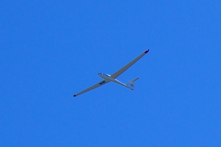
We had a break at the huts before retracing our path of the first day up the fire trail to our campsite. As we neared the end we saw a glider circling over Mt Feathertop and the high plains before it came our way and passed over us several times. This isn’t uncommon in this part of the Alps with the Mt Beauty Gliding Club located nearby. We had the same experience the last time we climbed Mt Feathertop.
A little while later a group of about a dozen horses passed through the valley. We’d seen them back at the huts, and had followed their trail of horse shit all the way back along the fire trail, and splashed through the mud they’d churned up.

Around 18:30 a group of five older walkers appeared. They’d spent the day (since 7:30) climbing out of the West Kiewa valley along the ridge we’d been looking at yesterday. It sounded like a tough climb: their first two hours was bashing through blackberries at the base of the spur. They went to get some water and found a campsite on the other side of the creek.
Towards sunset we walked over to the same spot as the previous night.

The evening light lit up The Niggerheads: they didn’t look as far away as they really were (about 4 km).

The sunset was nice, though not quite as nice as the previous night. Once again the sun was pink as it went down.


LS wanted to see the moonrise, so to pass the time we walked up to the Fainter ridge in the darkness without even using our torches. It was very atmospheric as we watched the colour drain from the sky, then the silvery light creep over the land as the moon appeared.
Pretty Valley Regained
Last night after sunset the wind picked up and ultimately blew quite hard. I could hear it washing across the land in great waves. But our campsite was sufficiently sheltered to deflect most of it from our tent.
Overnight I left the tent door open to stop any condensation (a problem on the two previous nights), which had the benefit that I could watch the stars whenever I woke. And when the dawn came it looked very colourful, so I did the lazy thing and shot photos out the tent door without even bothering to get out of my sleeping bag. After all, it was quite cold…

I got up about 7:30, and before 8:00 I noticed that our energetic neighbours had already gone. Personally I prefer a bit more time to relax and enjoy my surroundings.
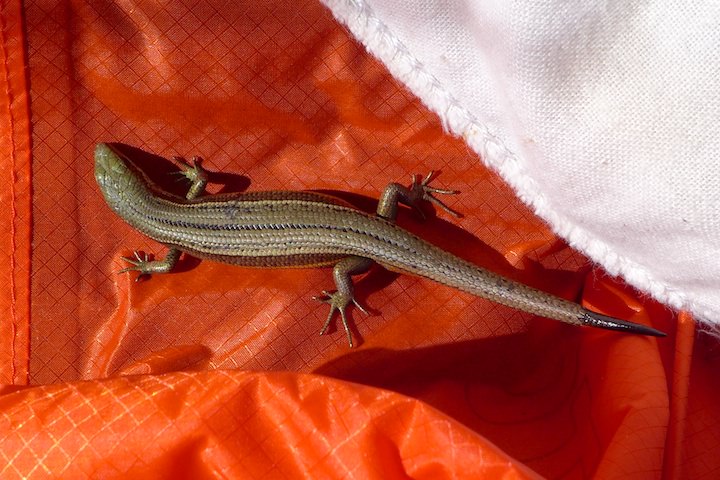
After breakfast we packed up, and I had to eject a hitchhiker I discovered sunning himself on my sleeping bag.
We got moving shortly after 9:00. At the Salt Camp Creek ford we said goodbye to Mt Fainter.

It was already warming up as we headed down to Little Plain. This day had the sunniest and hottest weather of the walk.

Today the feature insect along the track was undoubtedly a variety of large spider. There were plenty of them too.

At Tawonga Huts we saw groups of two, five, and three all heading out. Definitely a day of exodus! We had a break and some snacks, and enjoyed a great view of Mt Bogong.
Walking up the hill was a grind, but the even grade and smooth track made it straightforward. Behind us rose Mt Niggerhead.
At the top we regained our view of Pretty Valley, and had an easy conclusion to our walk with a 2·5 km downhill stroll to our car. We arrived about 12:15, making it about 3 hours from our camp.

To reward ourselves for completing the walk we stopped at Milawa Cheese Factory on the way home for a (delicious) late lunch of gourmet pizza and coffee.
Our previous walk to Mt Bogong had taken a fair amount of planning, but ultimately didn’t achieve a great deal. This time I didn’t do much planning at all, and we ended up achieving everything we’d hoped for. Maybe there’s a lesson to be learned here…
A Note On Nomenclature These days Mt Niggerhead is known officially as Mt Jaithmathang. When I first climbed it many years ago it was called Mt Niggerhead, and so it will always be for me. Back in 2009 it was renamed to Mt Jaithmathang to address perceived offensiveness to aboriginals, however the new name has just caused more offence.
