Mt Bogong via Staircase Spur
Contents
The Endless Stair
With a week off work already organized but our original plan for a walk in the Snowy Mountains on hold, we decided to head up to Mt Bogong for a few days. Perhaps unwisely — given the size of the climb we were facing — we didn’t start walking until about 12:30, having driven up from Melbourne that morning.
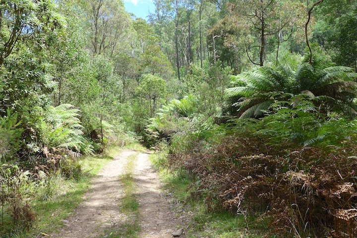
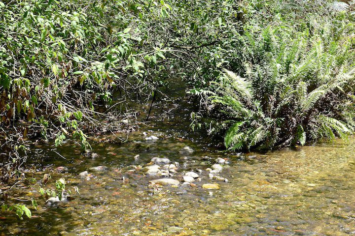
We breezed through the first 2 km in no time, which may have given us some false optimism for the remainder of the day. The track has four creek crossings in that distance…
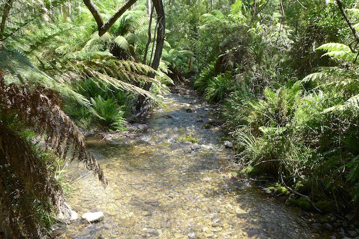
…and has nice views despite being mostly on a small dirt road.

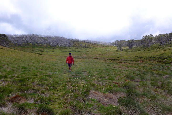
But as soon as we hit the Staircase Spur track things got a lot more serious. The spur lives up to its name, with uphill grinds of varying steepness interspersed with flatter sections. In 6 km it climbs about 1,300 metres to the summit ridge, so it makes for a serious climb. We quickly settled into a nice slow pace that allowed us to keep walking virtually non-stop, which experience has taught us to be the best way of tackling a climb.
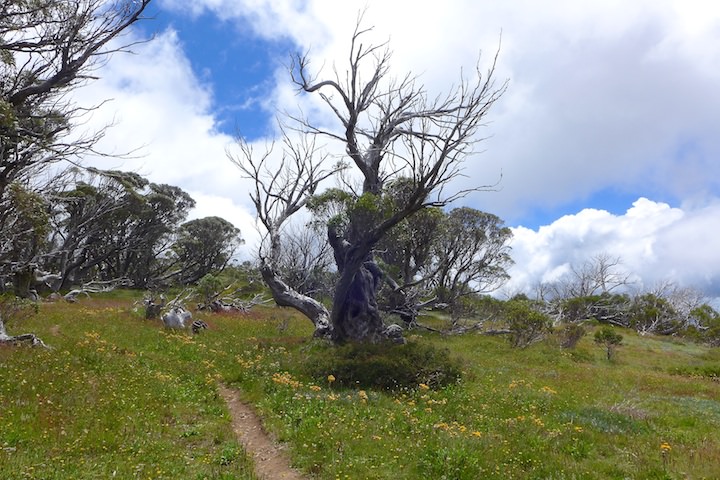
There’s not much in the way of views on this ascent until the end, unless you like looking at tree trunks.

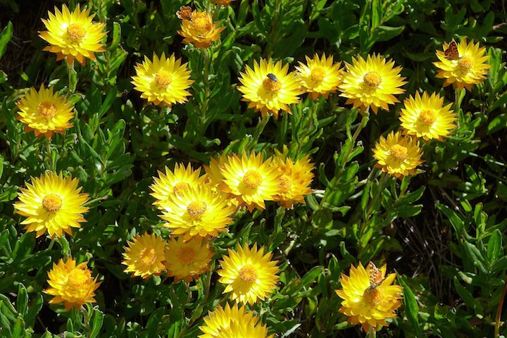
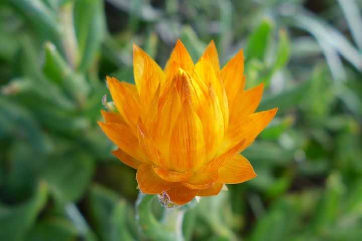
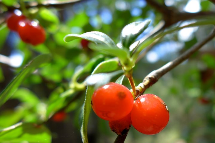
But since it was summer at least we had some wildflowers to look at.

During the climb we met a total of 28 people coming down: a mix of daywalkers and campers. No doubt this was due to us starting our walk on the last day of the Australia Day long weekend when most people were finishing their trips.
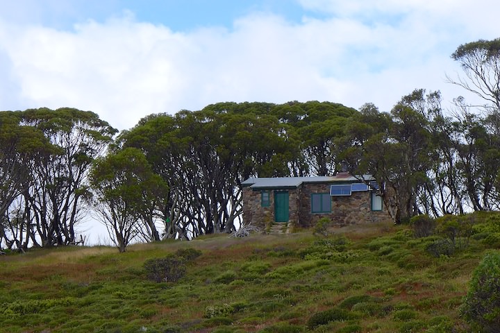
We had been walking a long time and were at the right altitude for Bivouac Hut without any sign of it appearing. While I was voicing my complaint about its non-appearance we stumbled upon it: a majestic toilet towered above us, and a little further along was a small graffiti-covered hut.
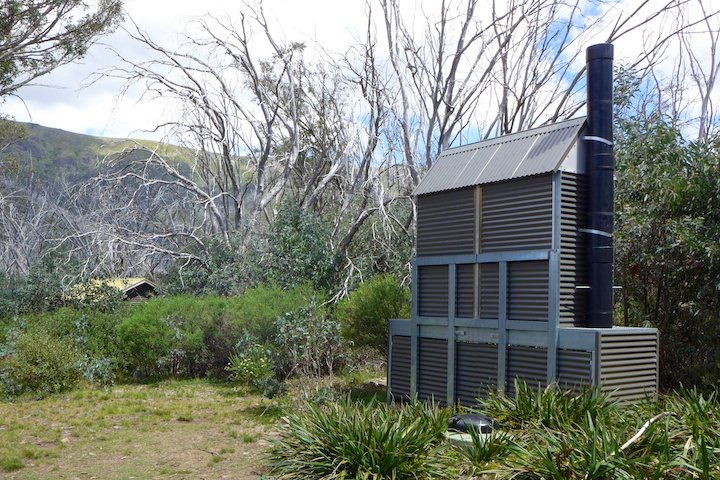
The hut is something of a milestone, being halfway up the spur in distance, and more than half in altitude. That was all the excuse we needed to drop our packs and cool down — the climb was hot, sweaty work…

While we were replenishing our strength by gorging on snacks we found some large bronze-coloured skinks.

Setting off again we found the track had recently been slashed (and we found the slasher, though not its operator). Walking on slippery semi-dried scrub trimmings wasn’t the greatest, and I couldn’t help wondering what lurked unseen beneath it — a question which was shortly to be answered.
While I paused for LS to catch up, I found myself standing next to a large black snake with a beautifully red belly. My mind was as tired as my legs, so I just stood there as the snake took the initiative and took off. Before I could get my camera out it had disappeared into the bushes beside the track. Disappointed, I was putting my camera away when the snake reappeared a little further up the track. I whipped my camera out again, but by the time I was ready the snake had disappeared once more. I gave up, tired of playing hokey-pokey with my camera.
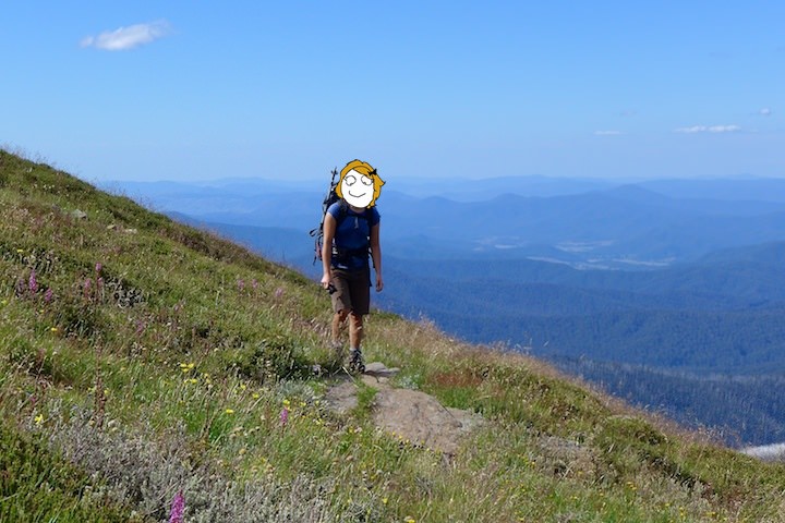
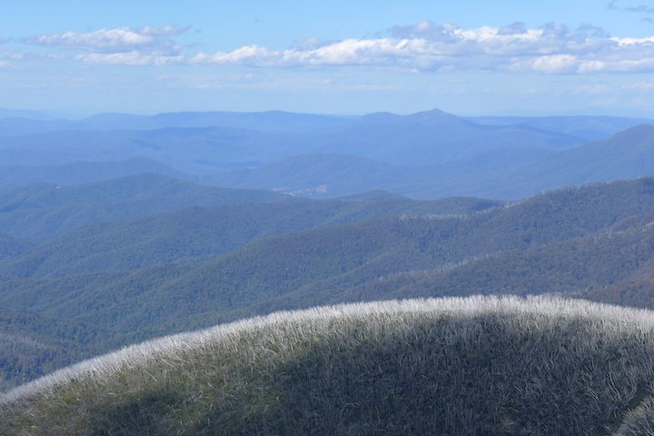
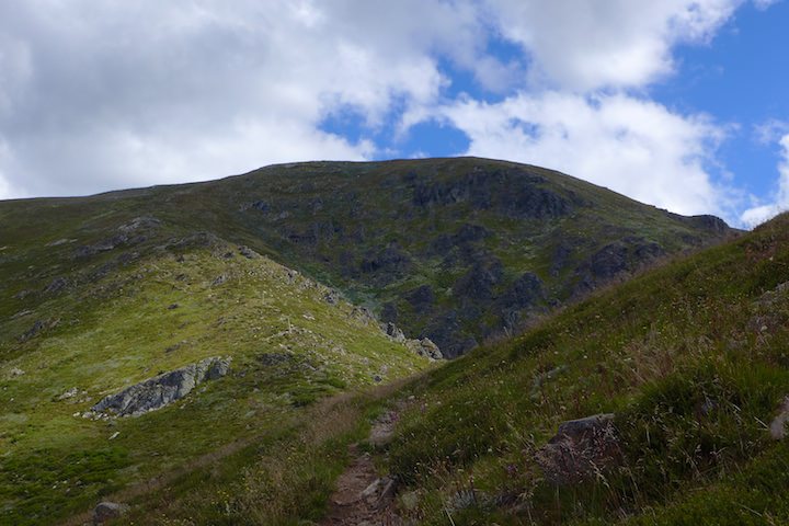
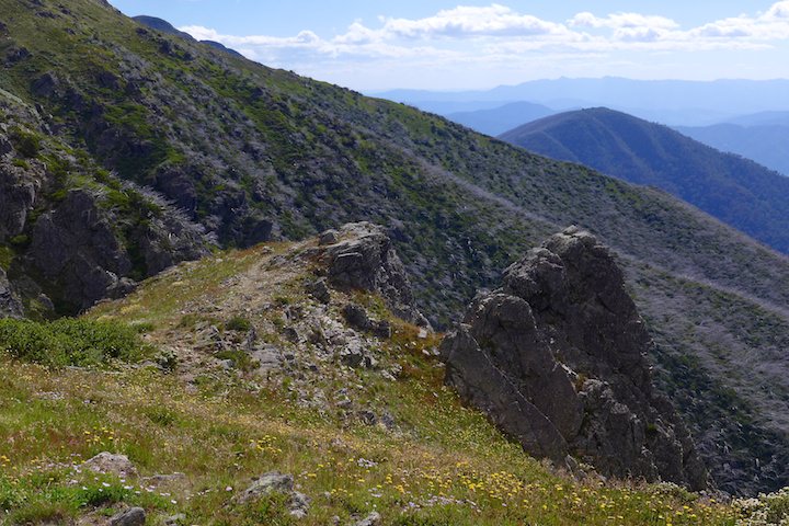
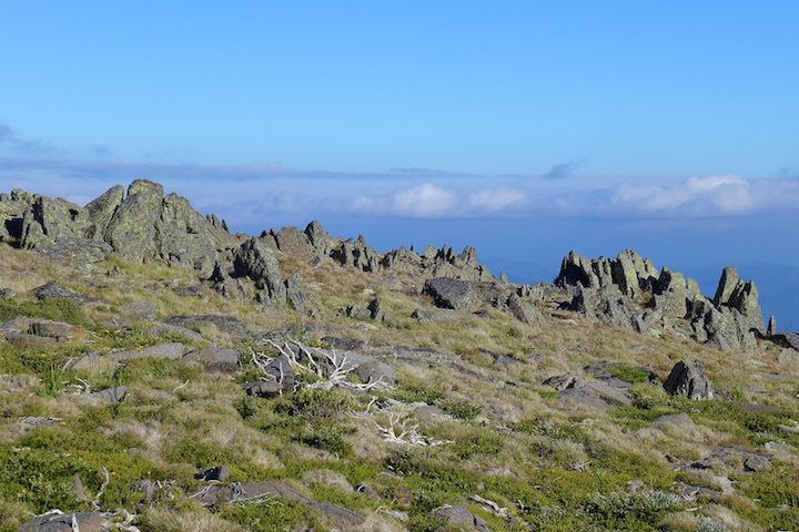
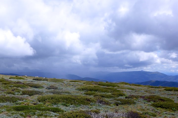
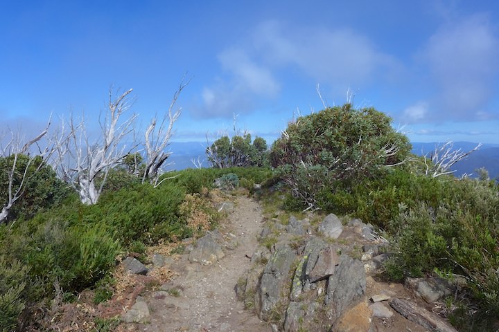
When the track emerged from the trees at about 1,730 metres the summit of Mt Bogong looked quite close, but there was still about 250 metres difference in altitude. But at least we had a view now, which made the climb more interesting.

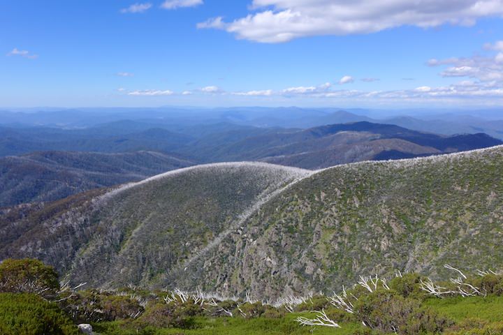
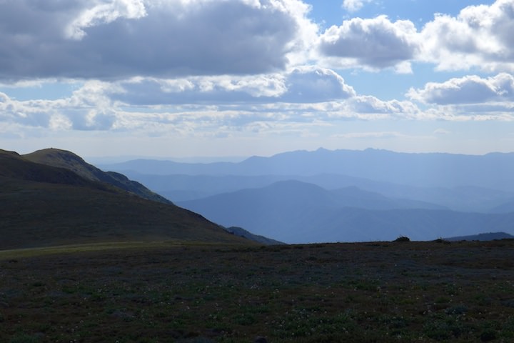
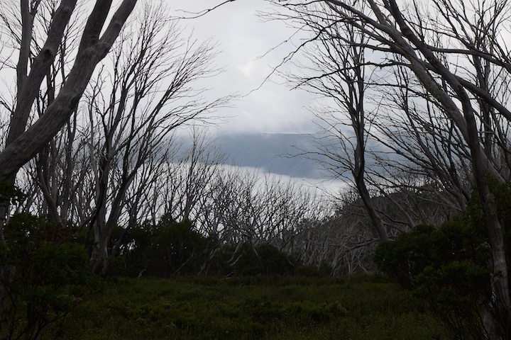
It really started to feel as though we were on top of the world, with range after range vanishing into the blue horizon below us. Bushfires a few years ago had left the ranges fringed by dead snow gums.
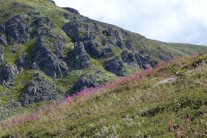
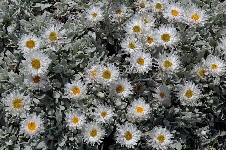
Up at this altitude the wildflowers were even nicer and more varied, with great patches of pink, blue, and yellow.

The day had started with sunshine and blue sky, but during our ascent the clouds had slowly increased over the summit. We crossed our fingers and hoped that we’d get our reward of a view at the top.

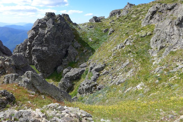
I hadn’t felt like making any side trips to lookouts, being too tired to care enough to make the effort. But when we reached Gorge Gap it was too good to resist: a little rocky pulpit looking out over the huge drop below Mt Bogong’s northern face.
LS was less excited by the prospect and stayed on the track.
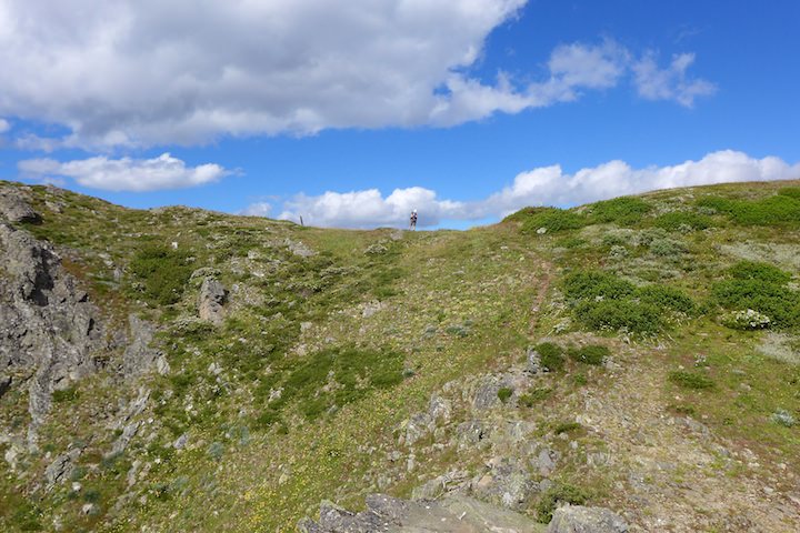
Back on the main track we kept at it…
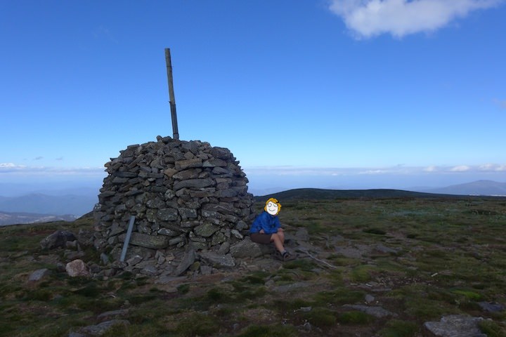
…passing the memorial…
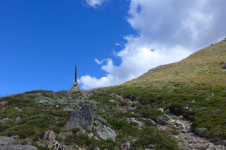
…and the ruins of summit hut, before finally reaching the summit ridge. We couldn’t get our packs off soon enough, nor could LS get some warm clothes on soon enough (being someone who feels the cold). No longer protected by the bulk of Bogong we now faced a strong cold wind.
The summit was only about 500 metres away and off we scampered, enjoying being free of our burdens. No cold wind would prevent us from enjoying the views!
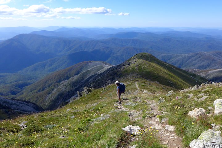
The West Peak looked invitingly close, belying its true distance (about 3 km). Clearly visible on the horizon were Mt Feathertop and Mt Buffalo.

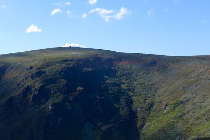
We returned to our packs and I put on something warm, having cooled down more than enough, before setting off on the final 3·5 km to Cleve Cole Hut. Occasional sunshine broke through as we walked past Eskdale Point, Lendenfeld Point, and Tadgell Point, making the landscape look quite beautiful.

Behind us the summit of Bogong wrapped itself in shadows, the gentleness of the summit contrasting with the steep cliffs below.
As we counted down the snowpoles I secretly hoped to smell a bit of wood smoke blowing up from the hut which would mean someone had a warm fire going… I was definitely feeling the cold now, but not quite enough to make me stop and find something warmer to wear.
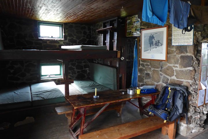
Eventually the hut appeared and we headed straight inside — we had the place all to ourselves.

Inside it felt quite warm: perhaps a legacy of the the sunny day. It was about 19:00, so our time from Mountain Creek was a reasonable 6:30.
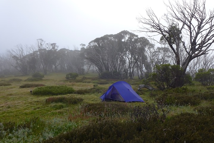
The hut didn’t smell great and we were happy to camp outside, so we set up our tent nearby, but not too near.
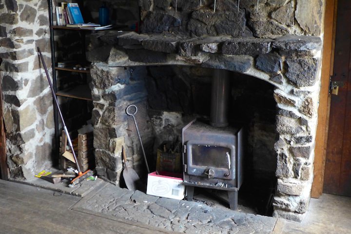
Despite camping outside we were still going to use the hut for cooking, so we took our food and stove indoors. The hut has changed since I was last there 24 years ago. For one, there is now the constant sound of running water. As far as we could tell the plumbing has been changed to feed off a small creek, and it is the overflow we could hear. Another change was that the old open fire has been replaced by an iron stove.
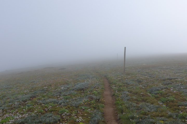
The taps in the hut had signs on them warning against drinking the water. Despite being a little skeptical about the warning, we gave it the benefit of the doubt and headed down into the little valley across from the hut to find water. It proved to be annoyingly hard to collect, with only a tiny trickle. As we were filling up a thick fog rolled up the valley. This set the pattern for the rest of our stay, with fog each afternoon.
Back in the hut we took our time making dinner. Outside the fog had made the simple act of wandering around the campsite an anxious affair. Visibility was down to a couple of metres, and whenever I was outside I was genuinely appreciative of the reflective panels on the hut, toilet, and a pole between the two. When it was time to sleep we actually had some trouble finding our tent, but eventually we stumbled across it.
Waterfalls
Neither of us got lost in the fog during the night, so that was something to be thankful for.
I got up early and left LS to sleep in. It was still foggy, and everything was dripping wet.
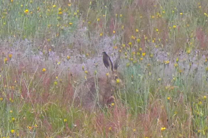
Over near the hut I caught a glimpse of an animal and heard some thumping, so I went after it. It turned out to be a large solitary hare, and it spent the morning nibbling the grass nearby, unconcerned by our presence.
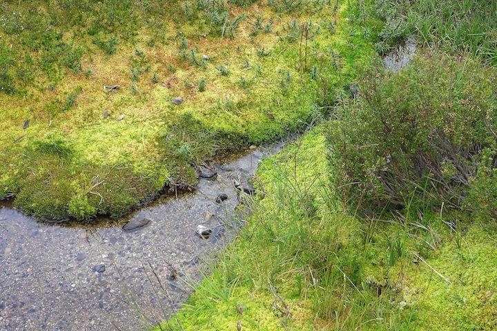
After water duties we had our breakfast and waited for the fog to lift. Across the valley we could see what looked like some poles, so in lieu of anything better to do we wandered across for a look. In the valley were sphagnum bogs and a lot of small pools with large tadpoles.

The poles appeared to be a parking area for horses, which made sense since horses are banned from the immediate vicinity of the hut. It was a nice area.
 Cleve Cole hut from the valley where we collected water.
To while away the foggy morning we resorted to playing cards with a sticky deck we found in the hut.
Around noon the fog showed definite signs of lifting…

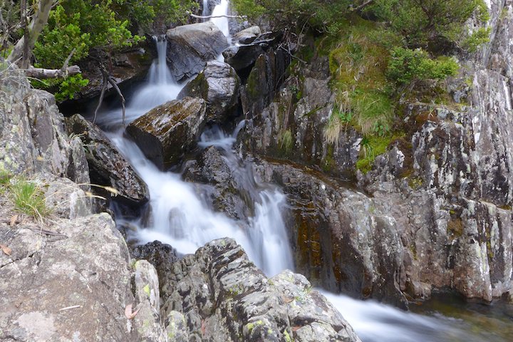
…so we set out for Howmans Falls. The walk down the creek valley was very pleasant, and lower down there were a few nice opportunities for camping (perhaps another time).
We turned off on to the side track to the falls, and soon enough we found them. They seemed much smaller than I remembered, though it had been 24 years since I’d last been there.


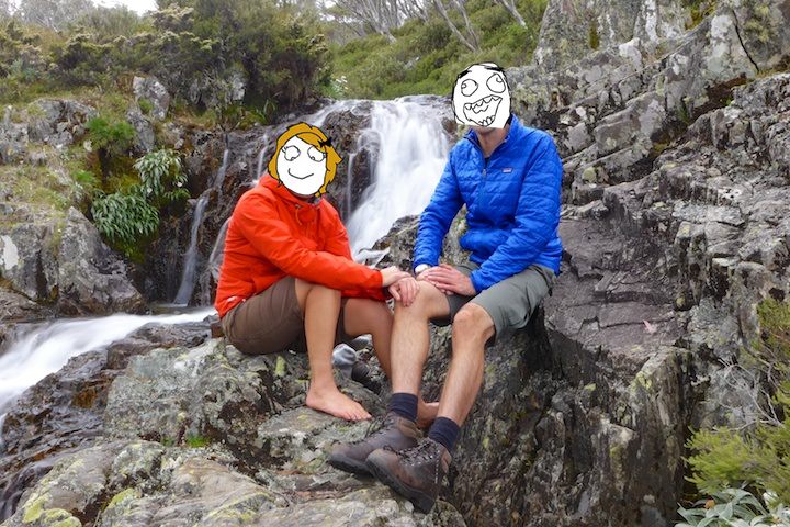
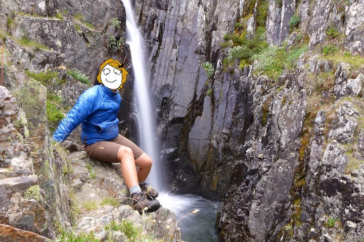
We spent a long time enjoying the area in our individual ways: I took photos of the creamy water and LS bathed her feet.

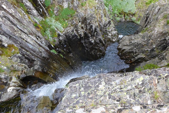
When we’d had enough we returned to the path… and realized that it continued on further. Feeling a little sheepish we followed it, and were soon rewarded with a bigger waterfall into a small canyon. It was beautiful, and quite different in character to the first fall.

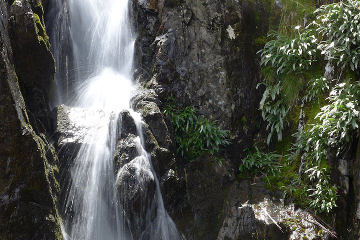
The path continued on, and so did we, to the true Howmans Falls: a very large waterfall which descends in a series of many drops and pools.
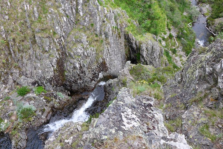
We managed to scramble down about half way, but with the day wearing on we left a trip to the bottom for another visit.
Just as we arrived back at the hut the fog returned. After dinner we got the cards out again for an energetic session of snap before retiring to our tent.

The Summit
The morning turned out foggy again, with some light rain added for variety. We decided we would move into the hut for our last night, partly to help us get an early start the next day.
While LS tried to keep warm by wearing her sleeping bag…

…I went out and cut some wood. I cut a fair amount (more than enough for the coming night), but it was harder work than I cared for: maybe I wasn’t doing it right…

Later when the tent had dried out, we packed it up. While pulling out the pegs we found a pocket knife which we donated to the hut’s collection of miscellaneous junk.
Once again the fog cleared about noon, so after some lunch we set off for the summit.
While heading up to Tadgell Point we met a lone walker heading the other way. It looked like our solitude was coming to an end.
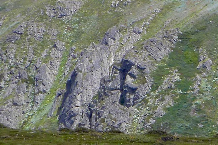
Once we were up on the ridgetop we had a perfect view of the gorilla face carved into the side of Mt Bogong. It almost felt like we’d stumbled into Planet of the Apes…

There were very nice views south across the Big River valley and the Bogong High Plains.


Up at Lendenfield Point we came across a pair of trousers that had been abandoned by their owner. Things like this really do make you wonder about people. What happened here to inspire such an act of defiance? With their owner (thankfully) nowhere in sight we can only speculate…
As we continued we could see the silhouette of another two walkers up at the summit of Mt Bogong, and in due course we met them near Eskdale Point and had a chat. They were also heading for the hut and wanted to know if there would be room inside (there was plenty).

Then another pair of silhouettes appeared, and these we met up at the summit itself. These guys were just up for the day. They were lucky with the weather — it had cleared only a little while before they got there.
We took some selfies to commemorate the occasion, as is the modern fashion. While we were there one of the daywalkers broke into some impromptu dancing, though he later apologized.
When we had the peak to ourselves we got out of the wind and filled up with snacks.


We pondered walking over to the West Peak. Our original plan had been to visit it along with Bogong Creek Falls (near Quartz Knob), but the fog had given us a late start and the clouds were cloudy enough to convince us to leave it for another time. It proved to be the right choice: on the way back we saw rain on the nearby peaks, and we hadn’t been back at the hut for long before the rain started.
 Rain over the high plains.

Arriving back at the hut gave us a start: we saw a tent that looked like ours pitched exactly where ours had been earlier. It wasn’t magic or déjà vu, but just the lone walker we’d seen earlier who happened to have a similar taste in tents and campsites.
We spent a good afternoon and evening with our new hut mates: the pair we’d met earlier were staying in the hut with us. Both were great guys, and both worked as ambos in Wodonga. The fire, although hard to light, was welcome. One of our new companions produced some port to share. It was from Brown Brothers — which happened to be on our way home, so we decided we would call in to get some of our own for future walks.
During the evening some mice put in an appearance near the sink, unless the one mouse was doing laps.
We headed off to bed with our mats laid directly on the wooden frame: there were plenty of mattresses but the funky waft coming from them was a bit much.
Fog and Wind
The dawn was heralded by some high speed close-quarters fly-bys from the resident mice. Certainly beats waking up to an alarm clock! We snoozed until one of our companions had got the fire going before getting up to eat breakfast and then pack up.

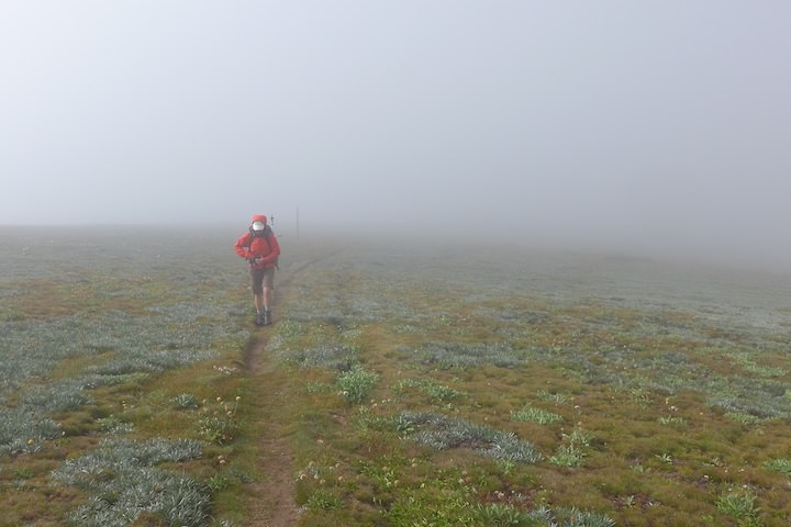
We bid farewell and set off into the fog, which had once again blanketed the area all night long. As we climbed back towards the tops we got some light rain, and out of the shelter of the trees the wind picked up.
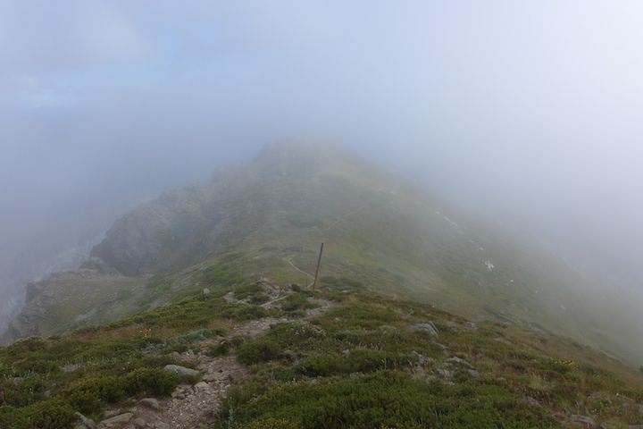
Up on the ridgetop the wind was stronger again and freezing cold, but thankfully it was blowing from behind us, so our packs gave us some protection. Visibility was generally poor with the heavy fog, though navigation wasn’t really an issue.
Around Eskdale Point the wind picked up significantly and was now blowing from our left, so keeping our feet took some concentration. It was a pretty grim place. It was hard to believe this was the height of summer, and that down in the valleys it was warm and sunny.

I’m all for taking photos at every opportunity, but even I was having second thoughts: my hands were blue enough to make them reluctant to leave my pockets. Both of us enjoyed the adverse conditions though. It added some spice to the journey: a heightened sense of wilderness and isolation.
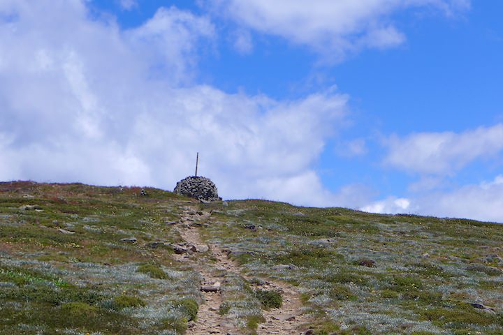
We made our way carefully down past the memorial.

Off the west side of Castor and Pollux was a rainbow in the mist.

We didn’t escape the wind until we reached the trees, and it felt great to be free of it at last!

When we got down to the hut we stopped for an early lunch with some nice hot tea.
While we were there a walker appeared heading upwards, and we had a nice little chat. He seemed unsure as to whether he’d camp or return the same day (he said he was getting a bit old for it). But he’d already done the bulk of the work for the day and still looked fresh so we encouraged him to camp. I don’t know what he decided, but I hope he kept going.
The track down to the road seemed endless, though not especially hard. It was now warm and sunny enough to force us both to change clothes to something cooler.
Back at the dirt road the last 2 km to the car park dragged on.
Just before we finished it a car came by… and it was our hut mates again. They had parked at Granite Flat, so they’d had a much shorter walk out. After another goodbye we continued to our car. But wasn’t quite the end: the pocket containing the car keys was jammed and wouldn’t open no matter what we tried. In the end we had to partially cut out the zipper.
The return journey had taken us 5 hours, including our leisurely lunch.
Our route back to Melbourne took us through Milawa, so we made good on our resolution of the previous night and stopped at Brown Brothers where we acquired some of the port. We found another four wines, but when we were told that purchasing a round half dozen would give us a free tea towel we couldn’t resist adding another, and left contentedly with our swag.
While we were there we had a drink and a snack on the lawn under the oak trees: we were in no hurry, and spending an hour or two here would allow us to miss the peak back in Melbourne.
Despite not achieving all we had hoped to, we’d both enjoyed the walk. After all, when everything goes according to plan you can’t call it an adventure…
